National Broadband Map
- Year: 2009
- Award: World Summit Award
- Category: Government & Citizen Engagement
- Country: New Zealand
- URL: https://broadbandmap.nz/
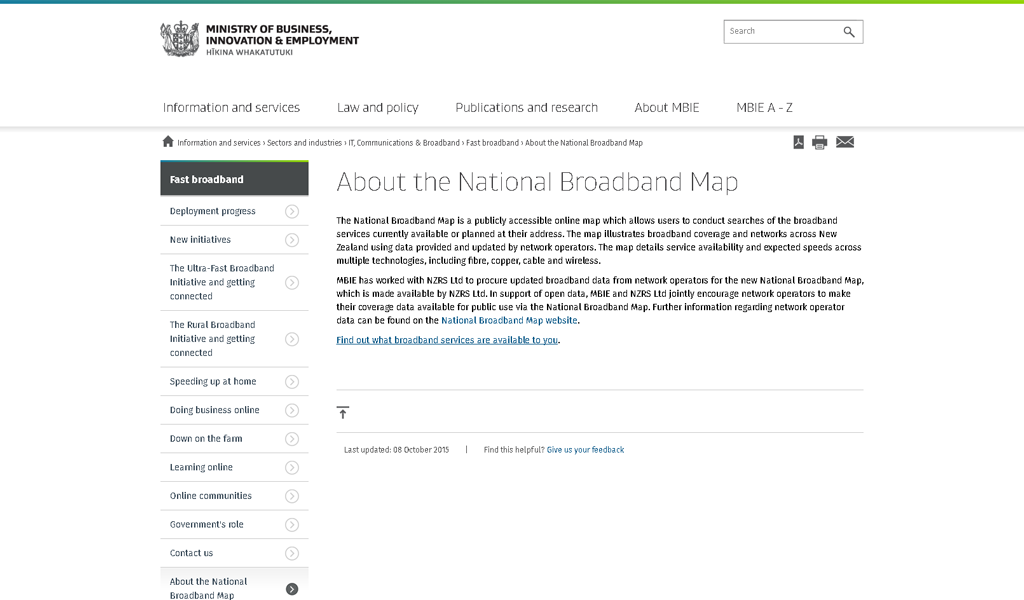
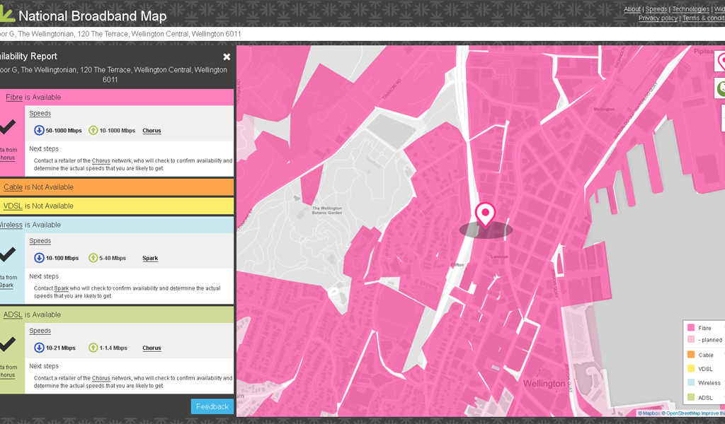
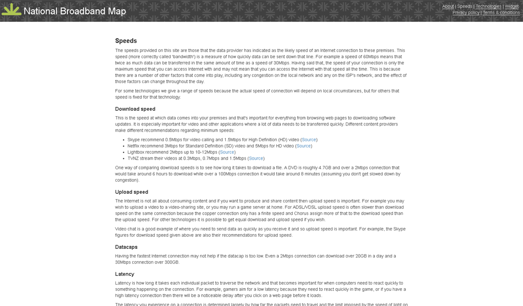
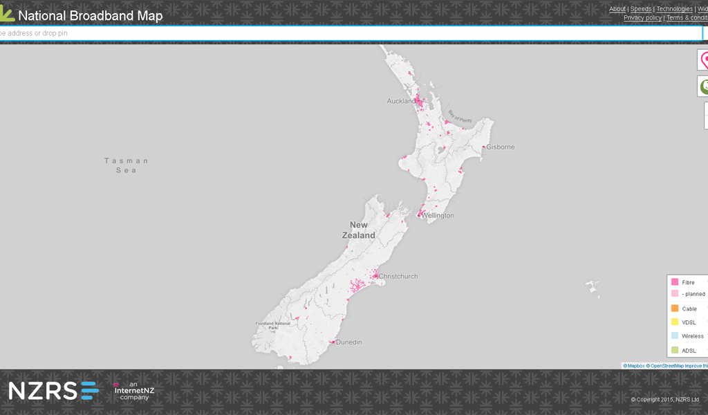
The National Broadband Map is a visual representation of New Zealand’s broadband landscape. It has been created to graphically represent broadband supplier network footprints alongside geocoded points, which indicate potential broadband demand locations. The Map takes publicly available government location data from various sources and combines it in such a way as to provide information and tools to aid in demand aggregation and infrastructure planning. The National Broadband Map also allows any citizen, business or government agency to reuse, reanalyse or visualise the demand point data in any manner, providing an environment in which extra value can be created from data which was once dispersed and inaccessible. Huge data reuse opportunities are already apparent as a result of this work, and both the public and private sectors in New Zealand are becoming aware of the value of having accurate, precise, data which is accessible to all.